Satellite imagery vs LiDAR for rooftop solar shading analysis
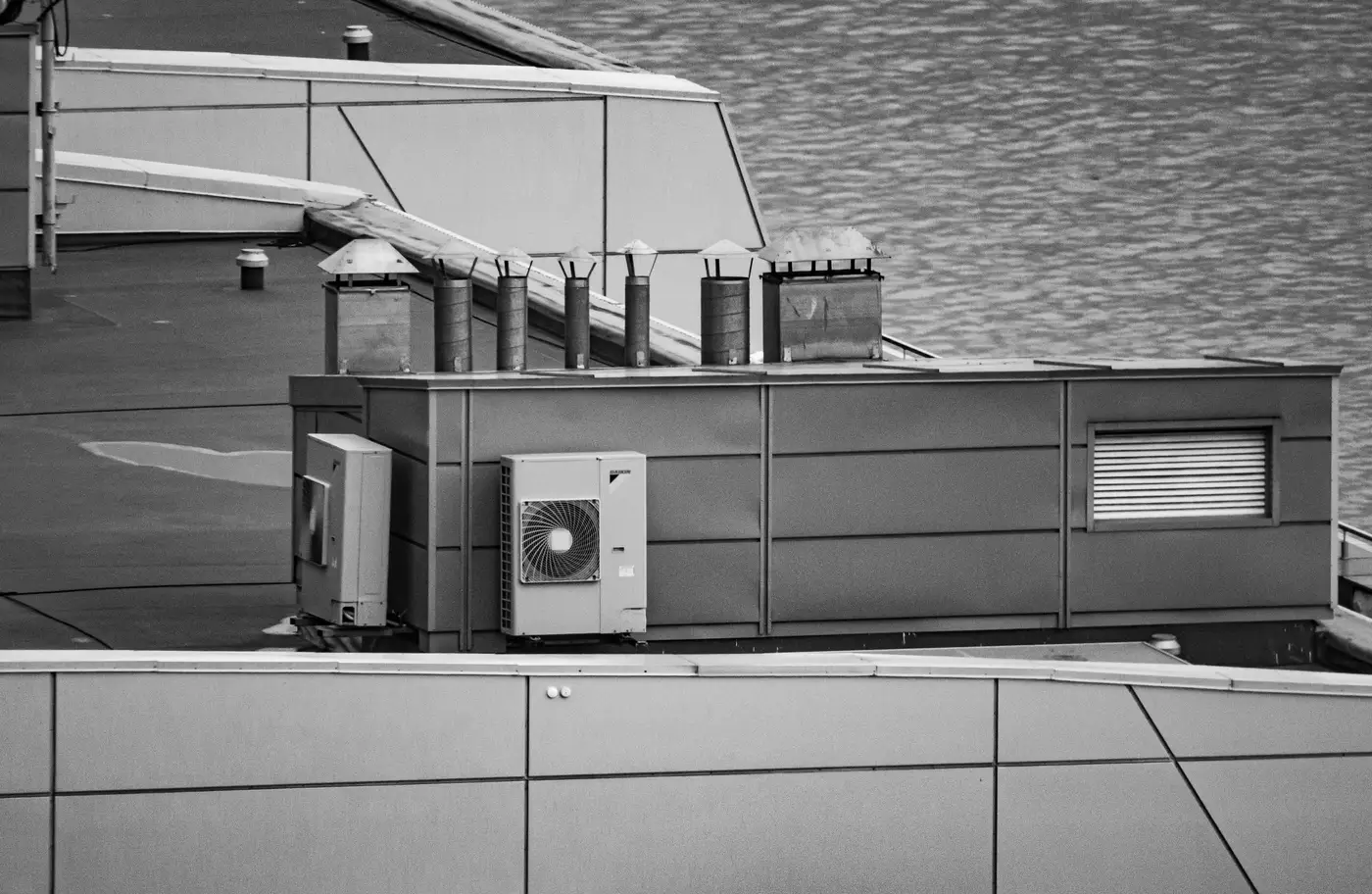
A developer with forty roofs on a list and a PPA bid deadline in six weeks has to decide something practical fast: fly LiDAR on all forty, or screen them first and fly the ones that clear. The answer depends on what each method is actually built to measure, and what stage of the deal you're in.
What each method measures
LiDAR gives you a point cloud. Elevation at every return, parapet heights, rooftop units, vents, the works, converted into a 3D surface model you can run a sun-path simulation against. That's what lets an engineer say "this corner loses 40 minutes of production at 9am in December because of the HVAC unit two bays over." It's precise, and it's built for that question.
VHR satellite imagery, the sub-0.3m-GSD kind, gives you something different: an overhead RGB view sharp enough to trace roof edges, measure the usable rectangle, read orientation off the ridge lines, and flag the obvious obstructions, stairwells, vents, existing equipment. That picture is enough to estimate usable area and installable kWp per site, without a shadow model behind it.
Neither one is a worse version of the other. They answer different questions.
Portfolio screening vs single-roof design
Here's where the two methods split by use case rather than by accuracy. If you're already down to the roof that's going into construction drawings, you want the LiDAR shading model, because the EPC and the financier are going to want shadow-hour numbers, not estimates. That's a per-site commission, and it should be.
If you're still at the stage where you have a spreadsheet of sites and need to know which twenty of them are worth that commission, flying LiDAR on all forty is spending flight budget on roofs you're about to drop anyway. A single VHR pass across the whole list does the job that stage needs: rank sites by orientation, usable area and obvious obstruction, and hand back installable kWp per site instead of raw square metres. That's the decision this stage calls for, where to send the walk-down crew next.
That's the gap Rooftop Solar Suitability sits in: a desk screen that re-ranks the portfolio from one VHR capture a year, done before anyone books a LiDAR flight or a site visit.
Where the satellite screen stops and LiDAR starts
To be straight about the limit: a satellite shading screen won't tell you how many shadow-hours a neighboring parapet costs you at 8am in January, and it won't catch a rooftop unit's exact height above the membrane. For inter-row spacing and final string layout, that level of detail still comes from a LiDAR model, and it should, because that's what financing diligence expects to see.
What the screen does is narrow the list before anyone pays for that level of detail. A roof that's oriented north-south with a stairwell bisecting the usable area doesn't need a LiDAR flight to get ruled out. A roof with a clean southern exposure and no rooftop clutter is the one worth the flight budget.
A rough rule for which one to reach for
A VHR pass across the whole list is the right move while you're still narrowing forty roofs down to the twenty worth a site visit. Once a roof is picked, the LiDAR flight is what delivers the shadow-hour numbers an EPC or financier will ask for, down to the minute, and no overhead image gets you there.
Roofs change year to year, new equipment goes up, parapets get re-flashed, tenants add units, so a portfolio ranked once in 2023 isn't the same portfolio today. One annual VHR pass is enough to re-rank it without walking every site by hand.
If you've got a list of roofs and need to know which ones are worth a flight budget before the next bid round, that's the first pass Rooftop Solar Suitability is built to run.